For more Kayaking Delmarva blog posts visit our Blog Index.
 Taylor’s Island Wildlife Management Area, an open marshy area where white egrets and osprey continually fly in the distance, is one of our favorite kayaking locations. However, the boat ramp on Smithville Road often presents challenges. Arriving there in July we found the majority of the parking area (large enough for 3 or 4 cars) under water. Lacking shoulders parking on the road is not an option. After debating whether the tide would rise any further, could we unload the car, load the kayaks and launch while sloshing around in about 18 inches of water we decided to launch elsewhere. We headed on that trip towards Taylor’s Island and launched on Slaughter Creek.
However, we have launched from Smithville Road several times in the past. A GPS or excellent map skills are essential in this area. This wide open marshy area just west of Blackwater National Wildlife Management Area offers better kayaking than Blackwater. Previously we’ve launched here during a flood tide and the high water resulted in many of the marshy areas being submerged making understanding the GPS even more difficult.
From the boat ramp we paddle west on Beaver Dam Creek about .5 mile to Upper Keen Broad then turn left (south). Following the most obvious line through Upper Keen Broad, which changes names to Punch Island Creek, you reach the Chesapeake Bay in about 4 miles. At this point the Calvert Cliffs Nuclear Power plant appears directly across the bay. Turning left into the Bay a small beach provides an opportunity to put ashore for a brief rest. With the water usually quite rough in this area relaunching from this beach and then turning back into the creek is always a fun ride. It was here we learned how truly stable our Tarpon 160i’s are in rough water. Bald eagles are abundant in this area.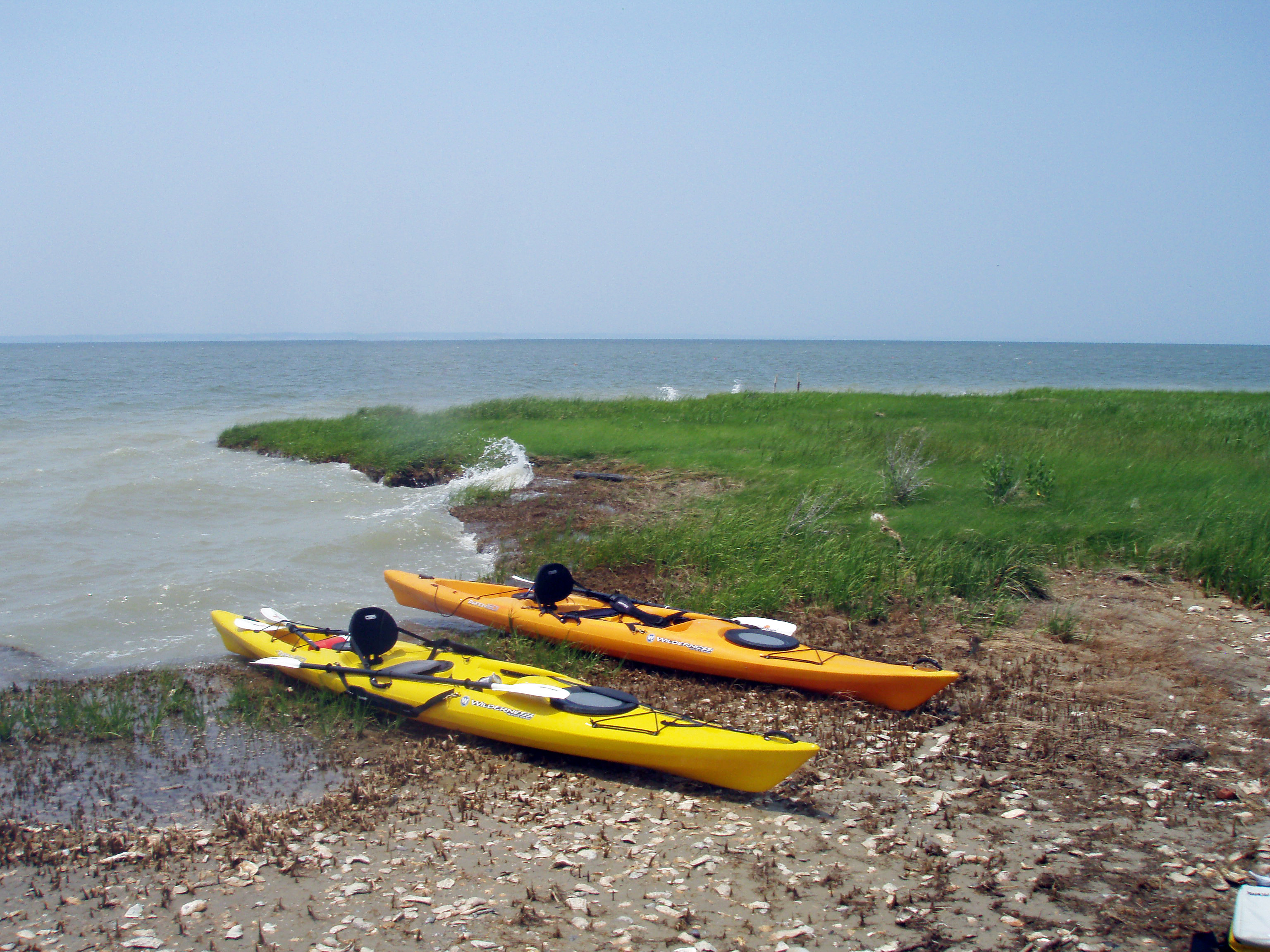
On the return trip several small ponds with abundant wading birds make for great birding. We’ve kayaked into Dunnock Slough, which becomes Dunnock Creek, adding an extra two-mile loop through the marsh. This area requires a GPS since there are many guts and creeks which lead into dead-end ponds.The round trip, including the excursion into Dunnock Slough, rounds out at about 10 miles. Except for occasional fishermen at the boat ramp, other boaters are a rarity. Expect to spend your day in the kayak as there are few opportunities for exiting in this area.
Directions to launch on Smithville Road:
From Rt. 50 in Cambridge go south on MD 16 to Smithville Road (just before the Taylor’s Island Bridge),
Turn left on Smithville Rd. and drive to parking lot/boat ramp just before Beaverdam Creek. Approximately 20 miles from Cambridge
There are no facilities at this put in.
For more Kayaking Delmarva blog posts visit our Blog Index.
Share this:

Categories: Maryland's Eastern Shore, Trip Descriptions
