We last kayaked Tuckahoe Creek in the spring of 2014. With the new bridge, and road work complete where Rt 404 crosses the creek, the time arrived for a revisit to this area between Queen Anne and Hillsboro, MD.
A small launch and park is located in Hillsboro. Leaving the launch we headed upstream on unusually still waters. The calm provided beautiful reflections of the four upstream bridges. Swallows nest under all the bridges, and put on a show when kayakers approach.
As with many local waters, turtles abound. There is little tidal flow in the area and just a gentle current. Paddling in either direction is easy.
In the past, we have kayaked several miles upstream before turning around. Along the way downed trees were cut back to provide passage. This trip we noticed a marked difference. There were many downed trees, and no cutting had occurred. Tuckahoe State Park previously listed a water trail on the creek from their lake to Hillsboro. Checking their website a water trail is no longer listed. Obviously maintaining a clear passage had become too difficult or costly.
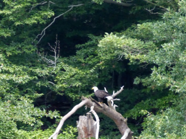
We managed just 1.8 miles from the landing before being forced to turn back. However to lighten our mood a Bald Eagle flew from a tree less than 30 feet before us and low to the water. A spectacular sight.
Passing the landing we continued downstream where the creek opens into more tidal marsh areas.
We managed a picture of one of the many Belted Kingfishers who darted back and forth. A small Green Heron delighted us by flying from the marsh near our kayaks.
We turned around about 2.5 miles downstream at Stony Point, a soft landing maintained by the county.
A Bald Eagle sitting on a dead branch highlighted our paddle back upstream. Cardinal flower, native to the Chesapeake Watershed, was in bloom in many spots along the bank.
Here is the GPS map of our trip. Waypoint 84 is the put-in ramp, waypoint 154 is a large fallen tree that blocks most of the creek but is passable, waypoint 85 is the furthest north we have ever been to paddle on the Tuckahoe.

Services: No facilities at launch. A Royal Farms gas station/convenience store is located about 1 mile away on Rt. 404.
Directions: Hillsboro & Queen Anne are adjacent communities along alternate 404 west of Denton, MD. At the intersection of Rt. 303 & 404 turn towards Queen Anne. Turn left at stop sign at Main Street. Go over bridge and launch is on the right.
For more Kayaking Delmarva blog posts visit our Blog Index.
Categories: Eastern Shore Kayaking, kayak, Maryland's Eastern Shore, Tuckahoe Creek


Bet this time the car came out of the trip unscathed unlike in 2014.
>
LikeLike
Beautiful pictures here and throughout your site! Thanks for recently following easternshorebrent, and I look forward to seeing more of your work!
LikeLike
Great pictures here and throughout your site! Thanks for recently following my blog, easternshorebrent, and I look forward to seeing more of your work!
LikeLike
Thanks! We will be adding lots more pictures to the nature photography pages of the site soon. Unfortunately, they pages don’t send out e-mail updates like the blog posts.
LikeLike