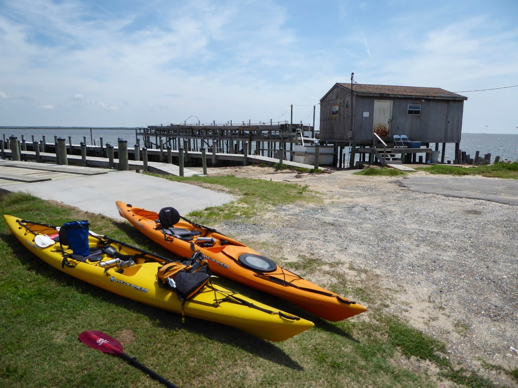
Hammock Landing, off Saxis Rd, near Saxis, VA, on the Virginia portion of DELMARVA, was our put in location on July 12, 2019. Previously, we launched from Hammock Landing paddling west toward the Chesapeake Bay and the small town of Saxis. However, one look at the waves, being created by the stronger than expected west wind, and our decision was to paddle upstream on Messongo Creek in an easterly direction.
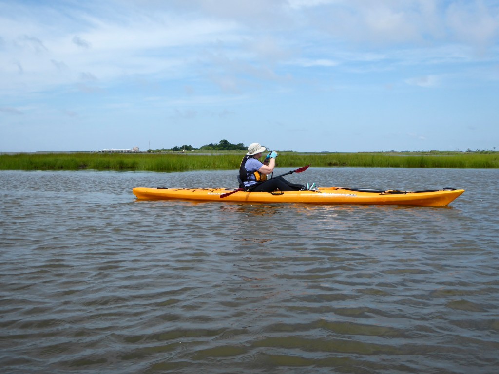
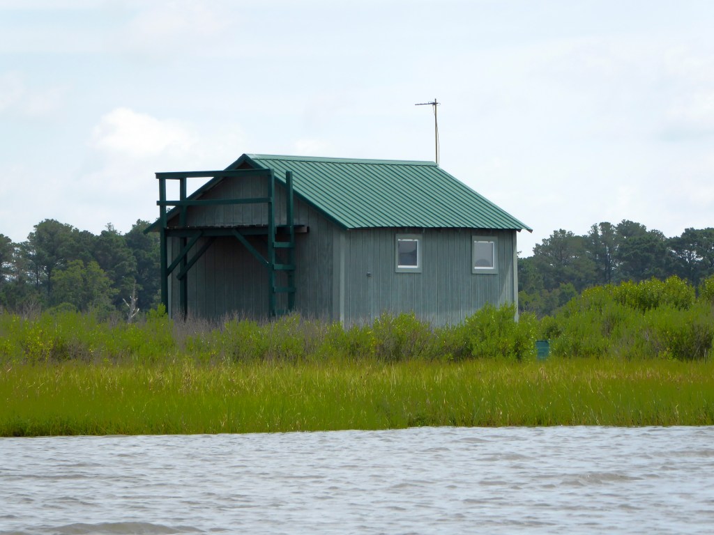
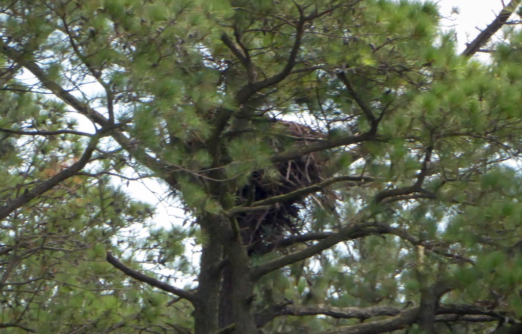
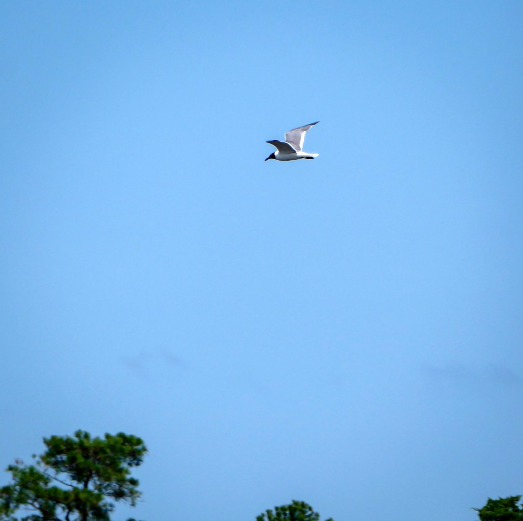
The put-in at Hammock Landing sports some large docks, a shack and some holding tanks, which are probably soft-shell peeler tanks. The first point to the east of the launch is Dick’s Point. Once we rounded Dick’s Point, the conditions became more tolerable allowing us to explore Messongo Creek and some offshoots. This green roofed structure, which appeared to be some type of duck blink, appeared on the shore in the first large cove. Several small guts allowed us an opportunity to paddle calmer waters, while examining the pine trees with binoculars looking for bald eagles.One bald eagle flew overhead later in the trip, but early on we did find an eagle’s nest hidden in a pine grove.About two miles from Hammock Landing there is another boat put-in at the end of Marsh Market Road, a handy place to take a breakShortly after passing Marsh Market Road, Messongo Creeks narrows down significantly and is lined with tall marsh grass.The marsh grass was full of songbirds, including this female red-winged blackbird who seemed bemused by our passing.After narrowing, Messongo Creek continues through numerous horseshoe curves with banks continually lined by tall grass.A green heron chirped at us and seemed annoyed at our passing.About four miles into the marsh we decided to turn back towards Hammock Landing. Paddling back towards the landing several dozen laughing gulls flew slowly up and down the creek while looking at the water intently. The tide was lowering at this point and they seemed to be fishing, but never actually dove into the water. They weren’t bothered by us and sometimes flew slowly just six feet over our heads. We made a brief stop at Marsh Market Road for a rest and a snack as we knew we would shortly be facing the wind again. After leaving this landing the wind and waves made paddling a real struggle returning to Hammock LandingHere is a map of our out and back voyage.
Paddling Messongo Creek was a little underwhelming. Except for the song birds there were few birds along this stretch, and the creek is mainly high banks with tall grass. Nice for paddling but not much to see. Paddling to the west from Hammock Landing towards Saxis is a much more interesting paddle.
Directions to Hammock Landing : South on Va. 113. Right on Rt. 695. (app. 10 miles south of intersection of Rt. 13 and 113 in Pocomoke.) Left on Hammock Landing Road (app. 7-8 miles) Launch at end of road.
Services: Port a John at Launch Site Several small restaurants in Saxis.


Hi thanks for posting tthis
LikeLike