On a cloudy day we set out to paddle a loop around the northern part of Janes Island. With trails through the marsh and along the coast Janes Island State Park offers paddling for any paddler.
We began our trip at the Janes Island State Park marina. Trail markers with distinctive shapes and colors mark the water trails. The Maryland DNR even provides you with an option for downloading GPS Waypoints. If you plan ahead you can order a trail guide. The same guide is also available for purchase at the state park store at the marina.


Our plan for the day was to paddle the Yellow Trail to Flattop Beach, and then the Green Trail around the northern end of Janes Island.
Janes Island hosts a variety of bird species always providing great bird viewing. An egret allowed us to paddle close before he flew from his perch. We saw numerous egrets and herons flying in the marshes.


From the marina we paddled the Yellow Trail through Flattop Basin. The Yellow Trail provides even beginning kayakers an opportunity to paddle to Tangier Sound. Reaching the end of the basin there is a dock allowing boaters to exit onto the beach. Kayakers can land on a narrow spit of sand and walk across to the Sound. Even at low tide the bottom is firm enough to walk without sinking into muck. We took advantage of this stopping point, which is less than a mile from the marina, to check out the wave action on Tangier Sound. On windy days a better plan for paddlers is staying in the marsh areas. But the Sound looked friendly, and we stuck with our original plan.


Leaving the beach we turned north following Green Trail markers. In just a short distance the Red Trail branches off to the right through the marsh. The Green Trail bears left staying close to the narrow spit. Shortly, it bears left again through a gap in the shoreline and into Rock Hole. Depending on the tide, paddlers might face a swift current here, or need to pull their kayak over a sand bar. Once through the gap we landed on a second beach decorated in goldenrod and tall grasses. The beaches in this area are sandy, firm and make for great landing points.


Leaving the beach we paddled into Tangier Sound and watched a working fishing boat on the water in the distance. Tangier Sound was calm, and gently rolling, which provided great paddling. Rounding Flatcap Point we entered the Big Annemessex River, paddled across the entrance to Acre Creek and entered the Daugherty Creek Canal leading back to the marina.


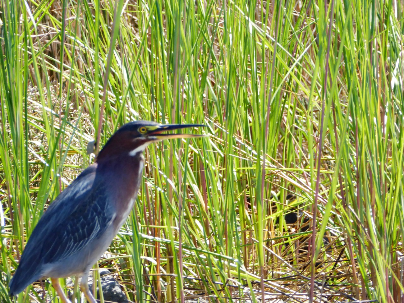
Along Daugherty Creek Canal a green heron stood in the marsh allowing for a great photo.
The State Park map labels the Green Trail for experienced paddlers only due to the open water of Tangier Sound. Including the piece of the Yellow Trail the distance is 6.25 miles. Due to our wanderings we covered a little more distance. Numerous options for exploration exist in this section. The Red Trail goes through the marsh into Acre Creek. Of course like many areas of DELMARVA the marshes change regularly and even maps and GPS’s are often out of date.
Topological Map of our paddle around the northern loop of Janes Island.

Directions: Google Maps: https://www.google.com/maps/@38.0070242,-75.8417502,13.75z
Services: Restrooms at Marina, Camp store at Marina, full services in Crisfield
Restaurants: While in Crisfield we ate at Waterman’s Edge Cafe. Food was ok, service on the night we were there was extremely slow. Worth a stop but next time we’ll try somewhere different.
For more Kayaking Delmarva blog posts visit our Blog Index.

