An early November day furnished blue skies and temperatures in the 70s. Loading our kayaks we headed for Willis Wharf, near Exmore, on Virginia’s Eastern Shore. Our paddling destination was the Machipongo River, the only named river on Virginia’s Eastern Shore. In reality, the Machipongo is a large tidal creek.
Willis Wharf, also known as Clam Town according to Wikipedia, is a waterman’s working village. Located on the wharf is H.M. Terry Co., Inc.- Sewansecott™ Clams & Oysters with piles of oyster shells around the building. Next door we spotted Cherrystone Aqua Farms, part of Ballard Fish Company. Reading information on aquaculture on their company web sites was fascinating. Farming on the water!

Boat Ramp at Willis Wharf
There are two ramps and a floating dock at the harbor launch site. This location is also part of the Virginia Birding Trail, and a large viewing platform overlooks Parting Creek. Launching from the harbor turn right down stream and watch for the channel markers. Our directions from the Virginia Seaside Watertrail site instructed us to look for markers 17, 15 and 13. As occurs quite frequently #15 was missing. When the stream makes a hard right turn you will spot #13. Turn left into the Machipongo River.
This area is full of tidal flats. Pay attention and don’t be tempted to wander out of the channel unless you are fully aware of the tide times.
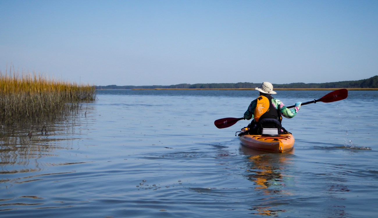
Entering the Machipongo River
Entering the Machipongo River we decided to follow the western shoreline on the way north. The tide was flowing out and we spotted many guts draining into the river. Bell Neck Swamp was on our left. As the tide lowered and the mud flats expanded we began to see shorebirds and ghost crabs pecking in the mud. Periodically a turtle would poke his head up and watch us approach. All a little unexpected on this early November day. We ended up seeing quite a variety of shorebirds as well as the standard herons and bald eagles.
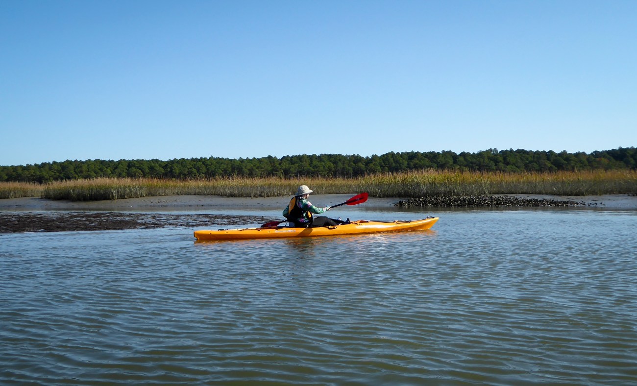
About 3 miles up the Machipongo, as we were approaching Quinby, we came upon a picturesque old barn falling into disrepair. A number of herons walked the mud flats in this area. Our turnaround point was probably still a mile from the Quinby Bridge. Kayaking above the bridge is difficult due to tidal flats.

Old barn near Quinby
At this point the tide was flowing out, but the wind was blowing out of the southwest, creating some choppy water. We crossed to the east side of the Machipongo River and paddled south along the shoreline. As is usually the case, staying close to shore makes the paddling easier. The marsh on this side is bordered by hardwood forest but it was impossible to get close due to low tide. The mudflats are quite impressive and the shorebirds put on quite a show. There is absolutely no place to get out of your kayak. This is thick marsh mud. Plan accordingly.
The following day we met a fellow kayaker familiar with this area, he shared that if kayaking during high tide, one can paddle to the edge of the hardwoods for better bird viewing. A great tip, and we will plan accordingly on our next trip.
Large mudflat
Turning right, back towards Willis Wharf, we discovered it was necessary to stay much closer to the channel markers to avoid becoming stuck in the mud. When we returned to Willis Wharf it was about an hour after low tide and the landscape had changed dramatically. The Wharf was almost dry and the boat ramp had become a long hike up to the parking lot.


Here is our GPS map. The initial part of our paddle was cut off but you can easily get the gist of our 8.5 mile trip.

Directions to launch site: (from Virginia DEQ). Northampton County owns site. No fee for kayaks.
- From US 13
- East on 178 at Exmore Stop Light.
- Becomes US13 Business. 0.6 Miles.
- Left on Route 603. 1.8 Miles.
- Left into Willis Wharf Harbor.
- Ramps and multiple docks are on Left.
GPS Coordinates:
+37.5089 / -75.8062
Services: port a john in parking lot; several restaurants in Willis Wharf; full range of services, including hotels, in Exmore
For more Kayaking Delmarva blog posts visit our Blog Index.

